
Hammond ZIP Directory Coverage
Seven Census ZIP Code Tabulation Areas touch Hammond geometry, yet only some are strong Hammond mailing areas. A ZCTA is a Census approximation of postal geography, not a USPS delivery boundary. The table keeps those ideas apart. It uses official USPS facility evidence for the core Hammond ZIP codes and treats edge overlaps with care. Searchers should validate the complete address before attaching a city name to a person or parcel.
| ZIP Code | Areas Covered | Post Office | Notes |
|---|---|---|---|
| 46320 | Central and northern Hammond | Sohl Avenue Hammond facility | Strongest Hammond city label; edge mismatches remain possible |
| 46321 | Edge overlap | Munster is the primary postal place | ZCTA overlap does not prove a Hammond address |
| 46322 | Edge overlap | Highland postal area | Check city situs in the parcel map |
| 46323 | Hessville and east-southeast Hammond | Kennedy Avenue Hessville facility | Use the complete street address |
| 46324 | South Calumet and south Hammond | South Calumet Avenue facility | Nearby place labels can cause confusion |
| 46327 | Hammond routing evidence | No retail result captured | Direct place-name assignment was not established |
| 46394 | Hammond and Whiting edge | Whiting is the primary postal place | Confirm municipality before calling it Hammond |
The 2025 sorting and delivery center notice also places 46325 in a Hammond routing context. That is not enough to add it to a list of city ZIP codes. Likewise, no official source inspected established a Hammond-only unique ZIP or a clean PO-box-only assignment. Those gaps matter. The Hammond ZIP code directory reports what the postal and geographic sources support, not a tidy list built from assumptions.
Hammond 46320 Postal Records
The core Hammond mailing example is 46320. The USPS Hammond facility record identifies the Sohl Avenue location at 5530 Sohl Ave, Hammond, IN 46320-9998, and gives 219-932-2757 as its phone number. USPS records also show a Hammond sorting and delivery label ending in 46320-9913. These are postal service facts. They do not draw Hammond's municipal line.
The official USPS result is pictured below. Its value is precision: it confirms one facility and its service ZIP without implying that every point within the larger ZIP-shaped area is part of the city.
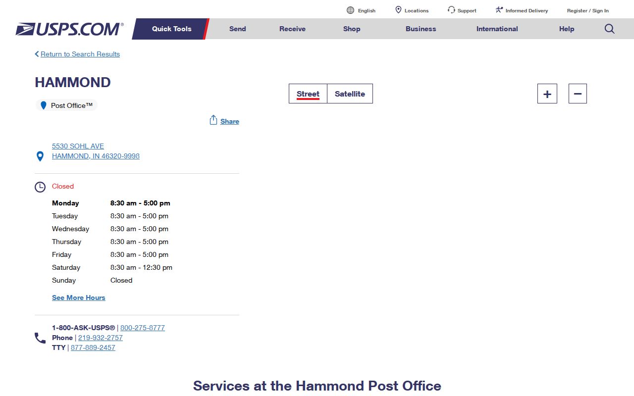
Use that facility result as an address check, then use Lake County parcel data when the real question is whether the land is in Hammond.
Hammond ZIP Codes Southward
Two postal areas offer clearer local anchors beyond 46320. The USPS Hessville facility is at 6530 Kennedy Ave in 46323. That ZIP is tied to Hessville and east-southeast Hammond. The South Calumet Avenue facility stands at 7142 Calumet Ave in 46324 and lists 219-932-0346. It serves a south Hammond area where nearby Munster labels can still complicate a quick ZIP-only conclusion.
The Hessville search result gives a second concrete postal checkpoint.
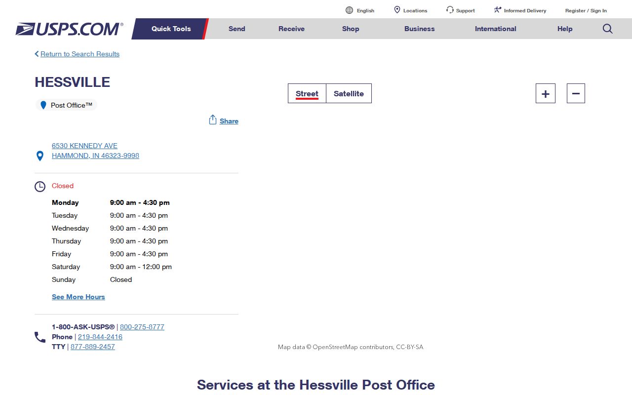
Together, the facility pages show why the Hammond ZIP code directory should connect a number to a full address and a named station, not just a neighborhood label.
Hammond ZIP Boundary Warnings
Three edge ZIPs demand extra care. Census geometry for 46321, 46322, and 46394 intersects Hammond, while the postal place names point to Munster, Highland, and Whiting. Whiting is a separate city. A resident-search result with one of those numbers needs a second source before it is labeled Hammond.
Boundary check. A Hammond mailing label is not proof of Hammond municipal residency; compare USPS validation with the county parcel's situs municipality.
This mismatch is a geography issue, not an error in the postal system. USPS organizes delivery. Census ZCTAs approximate ZIP service areas for statistics. Lake County GIS maps land and municipal attributes. Each source can be correct while describing a different boundary.
ZIP Filters in Hammond Records
The Lake County XSoft Advanced Search is the most useful official ZIP-capable property tool. Its underlying filter set separates the property's location ZIP from the owner's mailing ZIP. The main DataOnly screen instead uses owner, address, or property-number autocomplete. Lake County's tax search accepts mailing address and location text, but it has no separate ZIP-only box.
| Field | Use | Important limit |
|---|---|---|
| Location ZIP | Filters the mapped property address | Does not identify every occupant |
| Mailing ZIP | Filters tax correspondence address | May be outside Hammond |
| Property address | Searches a full situs address | Abbreviations may need variants |
| Parcel number | Links one parcel across county tools | Keep punctuation and leading zeroes |
The captured advanced-search screen shows the wider filter set used to narrow Hammond property rows.
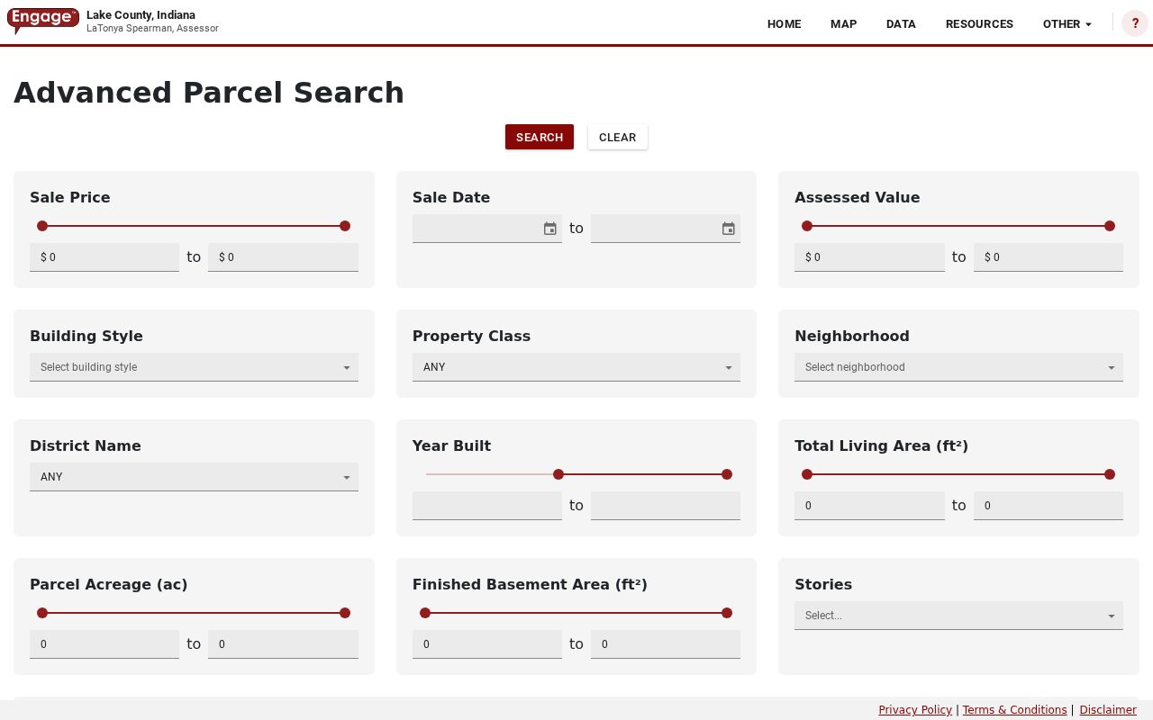
The result is a parcel list, not a complete directory of everyone receiving mail in that ZIP. Owner and occupant are not interchangeable.
Find Hammond Residents by ZIP
A careful Hammond ZIP code search moves from postal validation to land records. It does not begin by assembling names from unrelated sources. The property roll can show an owner associated with a parcel, while the public voter tool only confirms one person from supplied identity details.
- Validate the full address through USPS. Record the returned city label and ZIP rather than guessing from a map.
- Search XSoft by the situs address or parcel number. Use location ZIP and mailing ZIP separately when Advanced Search exposes them.
- Open the parcel map and check municipality, parcel geometry, and the physical address. Keep the mailing destination separate.
- Use Indiana Voters only to confirm a known individual with name, birth date, and county. It has no public ZIP roster.
When a ZIP is narrowed to a known road, the Hammond street directory continues with address-based parcel and deed work. That handoff keeps a broad postal area from being mistaken for a street-level directory.
Hammond Situs and Mailing ZIPs
Situs means the physical location recorded for the parcel. Mailing means the address used for tax or owner correspondence. The Lake County ArcGIS parcel layer keeps separate LoczipCode and mailzipCode fields, so the distinction is built into the public data.
A neutral county example makes the point. The Hammond Public Library parcel is mapped at 550 State St, while its mailing address appears as 564 State Street. A single organization can therefore produce two legitimate address values. For a private parcel, an out-of-town mailing ZIP may mean only that the owner receives mail elsewhere. It says nothing certain about who occupies the Hammond building.
Note: Preserve the parcel ID, including its leading 45, punctuation, and zeroes, when switching between ZIP filters, GIS, tax, and recorder records.
Hammond ZIPs Meet Street Numbers
Hammond's address grid is more stable for land research than a loose postal-area label. City Code §150.096 uses State Line Street as the east-west baseline. The north-south system is tied to the Lake Michigan margin and Chicago's 106th Street line extended east. The rule assigns 100 numbers per 660-foot block, or 800 per mile.
Historical searches can still fail when the street name changed. Hammond's official table records, among other changes, 171st Street to Earl Cliff Drive and Roselawn Street to Ben Levin Drive in 1984, plus Casino Center Drive changes in 2001. Search the old and new names with the ordinance year. ZIP filtering alone will not repair a renamed road or an old house number.
Hammond ZIPs Versus City Limits
The final boundary test belongs to the full address. USPS can validate delivery and facility information. Lake County GIS can show the parcel's situs, municipality, and geometry. Census ZCTAs are useful for broad area context, but their overlap with Hammond, Munster, Highland, and Whiting should never be turned into a claim about one resident.
- ZIP and ZIP+4
- A ZIP is a broad delivery code. ZIP+4 narrows delivery to a smaller segment and does not define a city boundary.
- PO-box ZIP
- A code used mainly or only for post-office boxes. No official source inspected proved a Hammond-only assignment of this kind.
- Unique ZIP
- A code assigned to one high-volume organization. None was verified for Hammond in the cited sources.
- Carrier route
- A postal delivery sequence within a ZIP. It describes mail service, not municipal government.
The safest wording is exact and modest: the address has a given postal ZIP, and the parcel map places it inside or outside Hammond. That distinction keeps the Hammond ZIP code directory useful for family, property, and civic research without overstating the evidence.