
Walk a Hammond Street
Begin with one complete Hammond address, then move outward one parcel at a time. The assessor establishes the current parcel and owner of record. GIS shows where that parcel sits on the block. The recorder supplies the instrument trail, while voter and directory sources must be used within their narrower rules. This order keeps unlike records from being mistaken for one master street directory.
- Enter the street number and name in the Lake County Assessor search. Open Detail and save the parcel ID, situs address, owner, and legal description.
- Open Map and inspect the parcel polygon. Click the next parcels along the street, checking each situs address rather than the owner's mailing address.
- Take the owner and legal description to the Lake County Recorder. Find the purchase deed, note the seller, and repeat for older ownership.
- Use Indiana Voters only to confirm a known person with name, birth date, and county. It is not a browse-by-street roll.
- For an older address, consult a Haines criss-cross volume or a street section in a Smith or Polk directory.
The chain is address to parcel, parcel to owner, owner to deed, then date to the right historical source. A whole named street takes repeated parcel checks. When the question shifts to one person, use the Hammond resident lookup and its separate verification path.
Hammond Street Directory Sources
Each address source answers a distinct question. Lake County systems are strong for parcels and owners, but a street directory assembled from them still cannot identify every occupant. Some records are searchable at once. Others require an account, a counter visit, or a focused request.
| Address source | Key used | Best evidence | Hammond access |
|---|---|---|---|
| XSoft assessor | Owner, address, parcel ID | Owner, situs, mailing address, class, improvements, transfers | Public online search |
| Lake tax account | Location, mail address, parcel, owner | Tax account and View Account path | Public online search; Treasurer fallback |
| Lake County GIS | Polygon, parcel ID, situs | Lot shape, adjacent parcels, municipality, office links | Public map and data hub |
| Recorder index | Party, legal description, book/page | Deeds, liens, releases, plats, title chain | Account search, counter, written request |
| Historic directories | Street and number | Listed person or organization in one edition | Hammond and Indiana State libraries |
| Permit and code files | Address, parcel, date | Work and named applicant or owner | City Clerk APRA request |
The parcel ID is the best bridge among current county systems. Street wording can vary, and one legal description may cover several lots. Preserve punctuation and leading zeroes, then compare the recorded instrument before making a title claim.
Search Hammond Parcels by Address
The XSoft home search accepts owner, address, or property number, and suggestions begin after three characters. DataOnly lists Property ID, Owner Name, Address, City, Map, Detail, and Services. It is the fastest way to scan addresses on a Hammond street, then open each parcel card. The tax search is separate and has more explicit address fields.
| Field | Input | Practical use |
|---|---|---|
| Owner, Address or Property Number | Autocomplete | Enter three or more characters and select a row. |
| Real Property Number | Text | Keep the full dashed and decimal format. |
| Owner/Business Name; Last Name | Text | Use fewer terms when a narrow search fails. |
| Mailing Address | Street or PO box | Find the owner's correspondence destination. |
| Location | Street address | Find the physical, or situs, address. |
| District Name | Dropdown | Hammond North 023 is one local example. |
| Year Built and value | Ranges | Narrow a property set after confirming the address. |
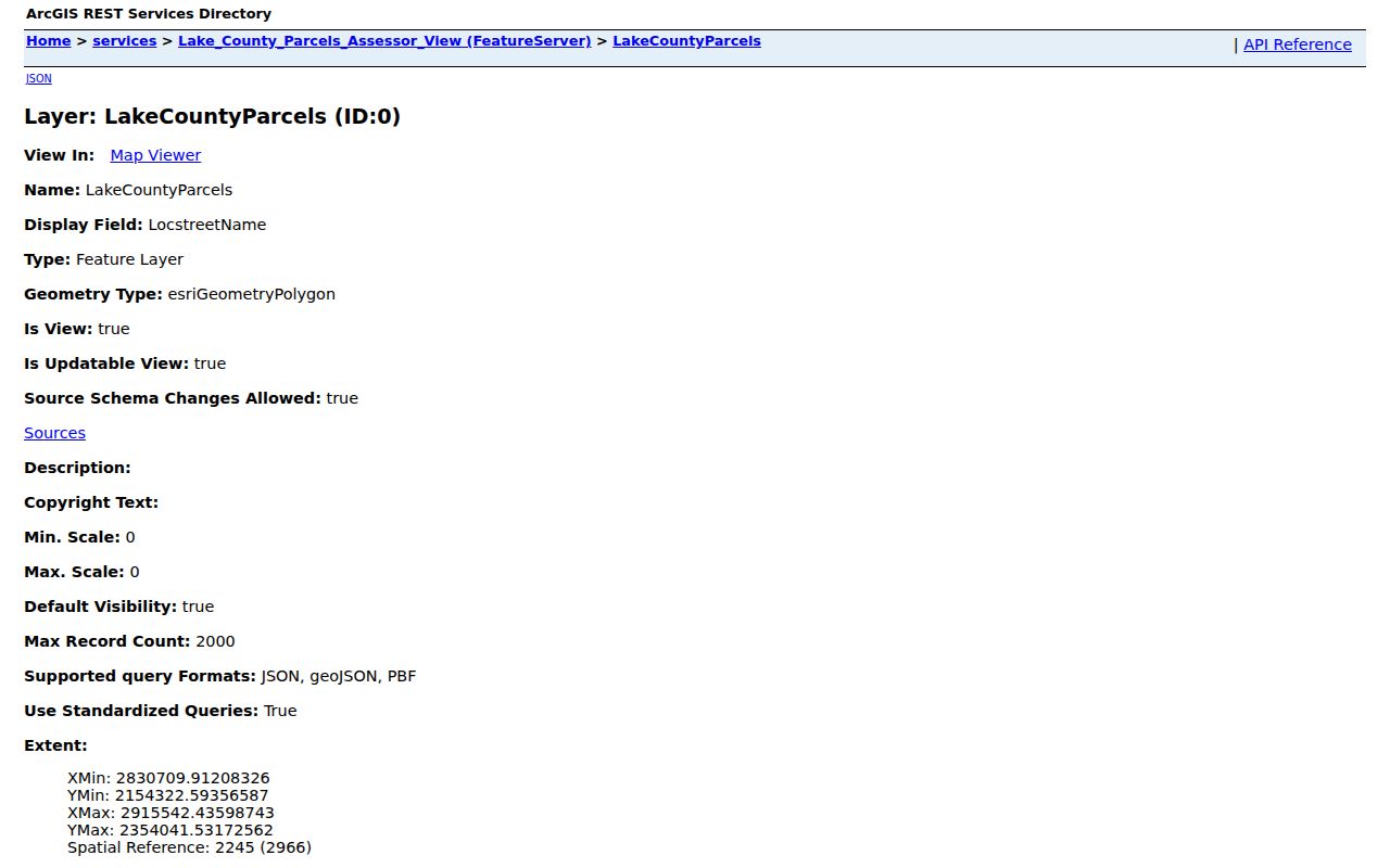
The public XSoft parcel table shows the result layout. The image below records the parcel address and geometry layer that supports the by-street method.
A parcel card can show transfer rows, valuation, improvements, documents, and a sketch. It has no complete household field, so its owner line should never be presented as every person living at the address.
Separate Hammond Situs and Mail
Situs means the physical place mapped by a parcel. Mailing means the destination used for owner or tax correspondence. The distinction is easy to miss in a street directory. Hammond Public Library offers a neutral example: its mapped parcel is 550 State Street, while its owner mailing address is 564 State Street.
Nearby ArcGIS results show more mismatches, including parcels at 571 State Street with mail sent elsewhere and a Sibley Street parcel whose mail goes to a Calumet Avenue room. Those facts describe record routing, not who stays at either place. Record both fields and use situs to walk a street.
Address tip. If mail points off the block, return to the GIS polygon and use its situs components for the street search.
Map Hammond Parcels Along Streets
The Lake County GIS layer stores parcel ID, deeded owner, situs and mailing parts, legal description, acreage, property class, municipality, township, and office links. A user can pan, zoom, click a parcel, and follow its assessor, recorder, or treasurer link. The public layer also supports touch and intersect relationships.
Open the Lake County parcel viewer, locate the target, and move along shapes with the same street frontage. Record each exact ID. An inspected envelope around the library returned ten candidates, but proximity did not make all ten adjacent. Visual boundary checks prevent a lot across an alley or street from being mislabeled.
The map turns a line of addresses into repeatable parcel checks. Its August 20, 2026 freshness marker helps establish recency, yet a recorded deed remains the stronger title source.
Decode Hammond Street Records
Four terms keep the county, map, and historical records aligned. None replaces the others.
- Parcel
- A mapped unit of land with a structured Lake County number beginning with 45.
- Situs address
- The physical location attached to the mapped land, distinct from a mail destination.
- Plat
- A map laying out subdivisions, lots, blocks, and related land lines.
- Criss-cross directory
- A historical volume used to move from an address to the listed person or organization.
A legal description is the land identity written in a deed. It may cite a subdivision, block, partial lot, or vacated alley. That text often survives address changes better than a house number.
Follow Hammond Deeds by Street
Start with the assessor owner and legal description. In the recorder index, the current owner is the grantee, the party receiving an interest. The prior owner is the grantor, the party conveying it. Search that seller as an earlier grantee, compare the same lot or legal description, and continue backward.
The Lake County Recorder search requires an account. The office reports more than three million documents and recordings more than 200 years old, but it gives no verified web cutoff. That scale is not an online coverage promise.
If the web index stops, use the recorder counter, an APRA request, State Library plat and microfilm help, or Hammond library collections. Online document purchases are stated as $1 per page plus a $3 administrative fee per order. Confirm current charges with the office.
Translate Hammond Street Numbers
Hammond's code uses the Lake Michigan margin and Chicago's 106th Street as the north and south baseline extended east. State Line Street is the east and west baseline. It assigns 100 numbers per 660-foot block, or 800 per mile, while alley buildings use numbers tied to the street. This explains why a house number can help place an address.
Two State Library maps make the rule useful for older searches. Frank Blocker's 1930 street-numbering map records the city plan. A 1938 house-numbering map indicates property owners. Check both when a modern parcel and an old directory number do not align.
Search Hammond's Former Street Names
The city code preserves old and new names with ordinance dates. Examples include 171st Street to Earl Cliff Drive in 1984, Roselawn Street to Ben Levin Drive in 1984, Empress Drive and Place to Casino Center Drive in 2001, and the road west of Calumet to Legion Lane in 2001.
Columbia Circle had name and number changes from 2008 through 2010. The official street-change table is the first check when an exact old address returns nothing. Search both forms in the assessor, recorder, newspapers, and directories.
Reverse Historic Hammond Addresses
Haines criss-cross directories cover 1980, 1981, 1984, 1985, and 1988 in Hammond holdings identified by an official historic-building survey. They are useful because the question starts with an address. Earlier Smith and Polk editions may have street sections, but their year runs contain gaps.
Treat a hit as a dated listing, never a present claim. For publishers and shelf runs, use the Hammond city directories page. The Hammond Public Library local-history room can search maps, plats, newspapers, and microfilm when a scan is absent or OCR mangles an abbreviated street.
Request Hammond Address Files
No public Hammond permit or code-case portal was verified. Use the City Clerk record form with the address, parcel ID, dates, and kind of existing file sought. A permit may identify work, an applicant, or an owner. It does not prove occupancy.
Indiana Voters is also narrow. Its lookup confirms a known person through name, birth date, and county, with election information. It does not offer an open street browser. Full computerized voter data uses State Form 48648 and certifications under IC 3-7-27. A Hammond street directory must not promise a block roster from that screen.
Limits of Hammond Street Searches
A parcel owner may not live there. Mail may go to an office. A deed records an instrument, not a household. Directories omit people, lag moves, and use short forms that OCR can read poorly. Utility, delivery, and motor vehicle data are not public substitutes. Protected voter addresses and restricted attachments stay protected.
Use two sources when a fact matters. Assessor and GIS can agree on a parcel, while the recorder verifies an instrument. A directory and census can support a historical address at a stated date. Keep each conclusion as narrow as its source.
Lawful use. Hammond address records support family, property, and civic research. Never use them to stalk, harass, intimidate, or harm anyone.